Monroe City Plan Commission Meeting - June 10, 2026
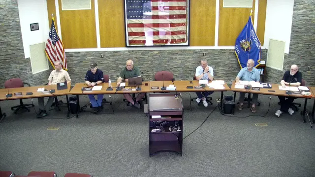
STREAMING COPY IN PREPARATION — RECORDING AVAILABLE FROM THE ORIGINAL SOURCE
Monroe City Plan Commission Meeting – June 10, 2026
The Monroe City Plan Commission met on Wednesday, June 10, 2026, at 5:00 PM in City Hall Council Chambers. All seven members were present (Mayor Miller, Alder Shaeffer, Ron Spielman, Dave Wartenweiler, Jesse Duff, Louis Armstrong, and Ron Markham). The meeting was called to order and the minutes from May 14, 2026 were approved as presented. The commission held public hearings on three items and took unanimous actions on all agenda items.
Correction of Minutes
- The minutes of the May 14, 2026 meeting were approved as presented.
Extraterritorial Certified Survey Map – Evan Lemenager (GL Farm Land LLC)
- DPW Al Gerber reviewed the CSM for a 0.07-acre parcel at the intersection of Bethel and Franklin Road, part of a 220-acre farm. No issues with future road layouts were identified. The commission unanimously approved and recommended the CSM to the Common Council.
Extraterritorial Certified Survey Map – Mike Lambert (Rust and Timber, LLC)
- DPW Al Gerber reviewed the CSM for a property near the industrial park at the southwest corner of an intersection. The applicant noted that a county permit for a second access driveway (800 feet from the intersection) had been approved. The commission unanimously approved and recommended the CSM.
Public Hearing and Zoning Change – Haven Hills Estates Lots 5-12 (MR-15 to TR-10)
- A public hearing was opened; no one spoke, and it was closed. Administrator Rindy and Shannon Haydin explained that the rezoning from MR-15 to TR-10 would allow one- and two-family residential development, including duplexes. One existing duplex that was non-compliant under MR-15 would become compliant. The change is consistent with the comprehensive plan. The commission unanimously recommended the ordinance to the Common Council.
Public Hearing and Ordinance – Landscape Surface Ratio in Light Industrial Zone (LI)
- A public hearing was held with no public comment. Administrator Rindy clarified that this was a correction to the LI zoning: the minimum landscape surface ratio had been incorrectly set at 80% and was intended to be 20%. The commission unanimously recommended the ordinance to the Common Council.
Public Hearing and Ordinance – Historic Preservation Overlay Sign Text Amendment
- A public hearing was held with no public comment. Administrator Rindy and Shannon Haydin presented a proposed ordinance to allow projecting signs and historic sign replication in the HP-O district. Discussion focused on two points:
- Definition of historic signs: The commission agreed to retain the standard of “at least 50 years old” rather than adopting a specific cutoff date (e.g., 1970). This aligns with typical historic preservation definitions.
- Lighting: The commission decided to keep existing lighting standards unchanged, allowing lighting to be reviewed through the Conditional Use Permit (CUP) process on a case-by-case basis, including potential internal lighting.
- The commission unanimously recommended the ordinance, as amended (50-year standard), to the Common Council via the Joint & Ordinance Committee.
Key Outcomes
- All five business items were approved unanimously:
- Approval and recommendation of the Lemenager CSM.
- Approval and recommendation of the Lambert CSM.
- Approval and recommendation of the Haven Hills Estates zoning change.
- Approval and recommendation of the Landscape Surface Ratio correction (80% to 20%).
- Approval and recommendation of the Historic Preservation Overlay sign text amendment with a 50-year historic sign definition and lighting subject to CUP.
- The meeting adjourned at 5:28 PM.
Meeting Transcript
Okay, it's five o'clock. We'll call the City Monroe Planning Commission meeting to order and clerk call roll, please. Alder Miller or Mayor Miller. Here. That's better. That's the first time I've done that. Alder Schaefer. Here. Ron Spielman. Here. Dave Whartonweiler. Here. Lewis Armstrong. Here. Jesse Duff. Here. And Ron Markham. Here. And we are all present. Thank you. Correction of the minutes from May 14th, 2026. If none, they will stand approved as presented. Next, see business discussion of possible recommendation to common council. The territorial certified surveyed map for Evan Lemon. Lemonger. Lemoninger. GL Farmland LLC. Okay. This is just for an extra territorial survey. So usually any survey within a mile and a half of the city limits needs to come into the city for plat review process for an extra territorial. So mostly we look at you know future road layouts or how it may affect that, especially if you as you get closer to the city limits.07 acres from a 220 acres of the farm right at the intersection of Bethel and Franklin Road. I think that there's a little aerial photo there that kind of roughly shows about where it's at. Correct. Yep. So move. Second. A second to approve the survey map. Any more discussion? Any discussion? If not, clerk call a roll, please. Mayor Miller. Aye. Alder Schaefer. Hi. Ron Spielman. Aye. Dave Whartonweiler. Aye. Lewis Armstrong. Aye.
openpublica.com