OPENPUBLICA · PUBLIC MEETING RECORD
Record of Proceedings
Marietta Historic Preservation Commission Meeting Summary (November 2, 2026)
City Council Archive View — Monday, November 2, 2026
BodyMarietta, Georgia
SessionCity Council Archive View
DateMonday, November 2, 2026
StatusNEW · FILED
Video Record
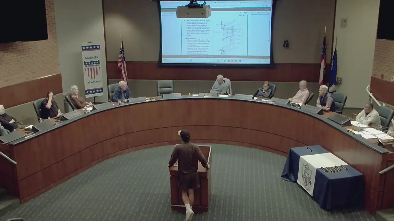
STREAMING COPY IN PREPARATION — RECORDING AVAILABLE FROM THE ORIGINAL SOURCE
Transcript — Verbatim
Speaker numbers apply only to this recording.
Discussion Breakdown — Share of Meeting
Historic Preservation59%
Zoning and Land Use13%
Engineering And Infrastructure12%
Procedural7%
Code Enforcement4%
Technology and Innovation2%
Meeting Scheduling2%
Public Engagement1%
Summary of Proceedings
Marietta Historic Preservation Commission Meeting Summary (November 2, 2026)
The Marietta Historic Preservation Commission held a meeting on November 2, 2026, to approve previous meeting minutes, receive a presentation from the city's GIS department, and discuss a certificate of appropriateness application for 226 North Forest Street. The board also reviewed and approved the meeting schedule for 2027.
Consent Calendar
- Meeting Minutes: The board unanimously approved the minutes from the previous meeting.
Presentations & Reports
- Historic Marietta Explorer Presentation: Thomas Chappelle of the City's GIS department presented a new web application called "Historic Marietta Explorer." The application is a single repository for historical photos, Sanborn fire insurance maps (dating back to 1885), and aerial imagery (from 1942 to present) of Marietta. Chappelle stated he has collected over 150 photos spanning from 1890 to 1990, with a side-by-side comparison feature showing historic and modern (2026) views. The public can submit their own historic photos through an online survey. Commissioners suggested sharing the tool with Visit Marietta and Cobb Landmarks.
Discussion Items
- 226 North Forest Street (Applicant: Caleb): The applicant returned to address a previously approved rehabilitation plan that had been deviated from without approval.
- Deviations from Approved Plan: The approved plan featured two large arch windows and specific Anderson windows. The applicant removed the arch window on the left and installed vinyl windows (Window World) without the required exterior muntins (simulated divided light frames).
- Applicant's Position: Caleb explained the changes were driven by unforeseen structural issues (cast iron vent pipes), personal hardship (recent loss of a family member), and cost savings. He stated that $300,000 had been invested with interior work remaining. He requested approval for the installed windows to avoid removal and maintain weatherization, noting that similar windows exist on neighboring properties.
- Board Concerns: Commissioners expressed significant concern about the deviation from the approved plan and adherence to design guidelines.
- Commissioner Jim: Emphasized that the changes were made without board approval. He strongly opposed the vinyl windows, stating that approving them would set an irreversible precedent. He stressed the importance of the windows' appearance, specifically the need for exterior muntins.
- Other Commissioners: Raised concerns about fairness to other applicants who spent substantial sums on compliant wood windows. The board concluded that the presence of non-compliant windows elsewhere in the district did not justify the current deviation.
- Staff Input (Joe): Outlined procedural options, including denial, tabling, and guidance for resubmission. Noted the 45-day rule for default approval if no action is taken.
- Outcome for Windows: The board voted to deny the application as it related to the windows. The applicant was instructed to return with a proposal conforming to the design guidelines for windows, particularly regarding materials and muntins.
- Outcome for Porch: The board approved the separate application for the porch modification, which included removing stucco from the steps and installing a cast iron railing.
Key Outcomes
- Meeting Minutes: Approved.
- 226 North Forest – Porch Modification: Approved.
- 226 North Forest – Window Configuration: Denied. Applicant encouraged to resubmit with a compliant proposal.
- 2027 Meeting Schedule: Approved.
Meeting Transcript
I'm gonna call the meeting of the Historic Preservation Commission to order the first item or the minutes from last meeting. I make a motion to approve. Any other discussion? All those in favor? Alright, thank you. But I'm gonna shift the agenda around a little so we have Thomas Chappelle, he's with the City of Marietta GIS department, and he's got a really cool system he's developed that he's gonna share with us. Hello everyone. Yes, my name is Thomas Chappelle, and I work for the city's GIS department. And first off, I am actually gonna show you some mouse. Oh uh under here, that's it. That's it. Um I'm gonna show you how to get to my application. So from the city's website, um let's see. All you gotta do to get it at home on your desktop is just type in historic Marietta Explorer. That's the name of my application that I've made here. Um if you mistype it or anything, it'll come up right here. And this link right here will take you right to it. So a little background on why I made this. Uh I was inspired for the 250th anniversary of a US, and I got this idea from the city of Tallahassee actually. Their GIS department had something similar. So I thought, let's see if I can find any pictures of Marietta from the past. And so I'll just jump right in. When you open the application, it uh opens with this sort of entryway, this instruction panel that gives you a little overview of what's in the map along with any of the sources that I got my content from. Uh it's a wide range of places. I got it from here at the city, I got it from the History Center, uh, the Fire Museum, and some online places such as the Digital Library of Georgia and Library of Congress. Um but I'm gonna hit enter here, and this is where it opens up. It's gonna show you a map of the city, and it's kind of like Google Maps where you can scroll in and see the streets of the city, but these icons all represent photos of the city spanning from a range of about 1890 all the way to 1990. So that's about 200 years worth of pictures, and I've collected probably over 150 different pictures. Um each point can either have one to five different photos on it. Um when you go in and click on a point, it'll show you this picture right here of the Brumby family on the square in uh 1902. And like I said, each point can have multiple photos. So the number, number one, the first picture is the Brumby family. You're gonna have East Park Square in 1910. The next photo. And then I also kind of included some modern day photos of that same site. So if you look here, here's East Park Square in 1910, and here's 2026. So I've kind of tried my best to place each point to the look uh accurate location of the picture. Um some of them are a little harder to decipher, especially being so old. Um, but also if you don't want to scroll around the map, you can just scroll down this slideshow on the right, and each one is a point on the map. So if you keep scrolling, you can see throughout the city. And when you click on a slide, it'll take you right to that location. So here's a picture of the fire department on the square in 1915. Um this one's a pretty commonly known one. Um so yeah, you can scroll and scroll and see, like I said, over 150 pictures. I'm still actually adding pictures to it because I recently visited the fire museum and they gave me about 20 binders full of old photos. So I've still got probably 50 more photos to add.
SUMMARIZED BY OPENPUBLICA AI
TRANSCRIPT VIA PUBLIC VIDEO
openpublica.com
openpublica.com