Brookings City Council Study Session on Development Districts & Overlays - February 18, 2025
STREAMING COPY IN PREPARATION — RECORDING AVAILABLE FROM THE ORIGINAL SOURCE
Brookings City Council Study Session on Development Districts & Overlays - February 18, 2025
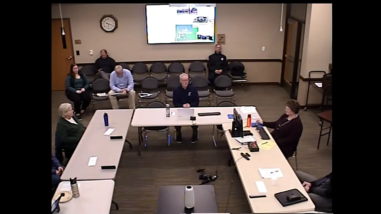
The Brookings City Council held a study session on February 18, 2025, at 6:00 PM in the Community Room of the Brookings City & County Government Center. The session focused on a presentation by Community Development Director Mike Strucker covering three development tools: commercial corridor overlay districts, planned development districts, and tax increment financing (TIF) districts. The meeting included a brief open forum (with no public comments), the presentation, and council discussion. No formal votes were taken, but council members expressed support for revisiting the administrative approval process for commercial corridor projects.
Meeting Transcript
I mean one of the things is true with that one. But they're not always sophisticated. No basically most tricky. Oh my gosh, what about this one? Well, we got two things. Oh, you can get all your grants read? Fred. And all your grants are? No. Yeah, no, yeah. All the way through. Okay. Yeah, that's quite high. Over four weeks and this will only take place. I think that's what I'm saying. Okay. Start this meeting in order. Pledge of allegiance. One nation under the individual with the clerk, please take to us. All council members members are present, Mr. Mayor. Entertain a motion to approve the agenda. So roll. Avery? Norren. Hi. Meyer. Hi. Specker. Hi. Bundle. Hi. Okay. Is there any member of the public who wishes to address the council on an item not listed on tonight's agenda? Alright, we'll move on. Now we have presentation of development districts and overlays. Mike Strucker, community development director will present this item. Thank you, Mayor and members of the council. Tonight we're gonna discuss three different development tools that are available in the city of Brookings and just give kind of a brief overview of each, uh, provide a few examples, and you know, just make this a little interactive. Any questions you have, um certainly feel free to stop and ask them at the time, or you can save them until the until the end, whatever you would prefer. Uh so from a very high level, um one of the first things that I just wanted to touch a little bit on is kind of how the planning process works. So from like a 30,000-foot view, uh, we have our comprehensive land use plan for the city of Brookings that kind of provides a general guidance on on how we make land use decisions. And one of the key components of the comprehensive plan is the future land use map, which designates uh the identified or intended uh areas uh within the city and within the growth areas of the city and what those land uses should be. And so if you look at it from a very high level, the 30,000 foot view is it's kind of that future land use map that sets those guiding policies. And then as you work down a little bit, you get into the zoning ordinance that looks at it uh from you know, let's say maybe a 10,000 foot view where it sets out the specific land uses within each of the various districts. Each of the districts has certain regulations within there, um could be from like your lot size, uh lot dimensions, uh square footage requirements, your setback requirements and such. And then you get into uh uh even a little bit uh closer viewpoint uh of a particular location and there's overlay districts, and the overlay districts are on top of the zoning ordinance, and they're even more detailed criteria that pertain to that specific area. And so in Brookings, I believe right now we have like three different overlay districts. Um being the commercial corridor, there's the uh airport overlay district, and then uh a planned development district is kind of a uh quasi um overlay district as well. Uh so the first one we'll touch on is the commercial corridor overlay district.
openpublica.com