OPENPUBLICA · PUBLIC MEETING RECORD
Record of Proceedings
Clarksville City Council Executive Session Meeting - December 1, 2025
City Council — Monday, December 1, 2025
BodyClarksville, Tennessee
SessionCity Council
DateMonday, December 1, 2025
StatusFILED
Video Record
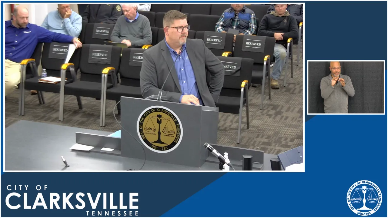
STREAMING COPY IN PREPARATION — RECORDING AVAILABLE FROM THE ORIGINAL SOURCE
Transcript — Verbatim
Speaker numbers apply only to this recording.
Discussion Breakdown — Share of Meeting
Zoning And Land Use22%
Community Engagement17%
Technology and Innovation11%
Transportation Safety10%
Public Safety9%
Procedural7%
Engineering And Infrastructure6%
Affordable Housing6%
Public Engagement5%
Summary of Proceedings
Clarksville City Council Executive Session Meeting - December 1, 2025
The City Council of Clarksville held an Executive Session on December 1, 2025, at 4:30 PM in the City Council Chambers. The meeting covered several planning and zoning matters, including a controversial zone change for a garden center, new regulations for electronic message signs, street abandonments for the Lincoln Homes redevelopment, and the adoption of the Britton Springs Neighborhood Plan. The Council also approved a consent agenda comprising multiple second-reading ordinances and resolutions, and appointed members to the newly established Clarksville Gas and Water Board.
Consent Calendar
The consent agenda was approved without discussion, including:
- Ordinance 21-2025-26 (amending liquor store compliance procedures)
- Ordinances 22, 23, 24-2025-26 (authorizing property purchases for affordable housing with Habitat for Humanity)
- Ordinance 25-2025-26 (establishing the Clarksville Gas and Water Board)
- Ordinance 26-2025-26 (accepting land donation for greenway trail)
- Zoning changes (Ordinances 29, 30, 32, 33, 34-2025-26) of various parcels
- Ordinance 37-2025-26 (rescheduling January 2026 meeting)
- Resolution 33-2025-26 (appointments to Audit Board and Senior Board)
- Adoption of minutes from November 4 and November 12, 2025
Planning Commission Items
Ordinance 38-2025-26 (First Reading) – Legacy Nursery & Landscape GP Zone Change
This item sought to rezone 12.82 acres at the northern terminus of Kennedy Lane from C-4 (Highway Interchange) to C-5 (Highway & Arterial Commercial) to allow a garden center. The Regional Planning Commission recommended disapproval. Discussion centered on traffic safety, lack of a second egress for the neighborhood, and confusion over definitions of “nursery” vs. “garden center.” Councilman Wanda Smith expressed support, noting the applicant had been misled by conflicting city guidance over two years. Councilman Chandler voiced strong frustration, calling the city’s handling “a cluster” and stating the applicant had invested $800,000 with no results. Councilman Streetman suggested agricultural commercial zoning as a compromise. Traffic engineer David Smith noted no net traffic increase triggered a study but acknowledged congestion and stated a second connection could cost millions. Councilman Zacharias raised a pending zoning code rewrite that might clarify definitions. No final vote was taken; the matter will return for second reading.
Ordinance 43-2025-26 (First Reading) – Electronic Message Center Signage Regulations
This proposed citywide regulations for digital signs, including size, placement, and operation rules (e.g., minimum 5-second static display, maximum 5-second transition animation). RPC recommended approval. Councilman Streetman praised the public workshop process. Code official Crosby supported the rules as a needed tool, noting they provide clear enforcement criteria. Discussion refined transition definitions and addressed questions on static images (including background color changes). The ordinance will have two effective dates: construction standards upon adoption, and operational rules on April 1, 2026. No vote was taken at this first reading.
Resolution 34-2025-26 – Abandonment of Streets for Lincoln Homes Redevelopment
This resolution authorized the abandonment of portions of Howard Street, Lincoln Drive, and Ernest Shelton Drive to allow redevelopment of the Lincoln Homes public housing complex. RPC recommended approval. Councilman McLaughlin expressed no confidence in the current housing authority director and suggested postponement until a new director is hired, noting ongoing consultant searches. Councilman Wanda Smith argued for proceeding with the abandonment to avoid further delays, stating progress has been long awaited. No vote was taken; the matter is expected to be decided at a subsequent meeting.
Ordinance 44-2025-26 (First Reading) – Britton Springs Neighborhood Plan
This ordinance adopts a neighborhood plan developed with consultants Reagan Smith (Michael Burrell, Lauren Sands). The plan included recommendations on connectivity, housing diversity, and flood management, based on two community meetings and a survey. 47% of survey respondents supported preserving single-family homes; other desired housing types included cottage courts and townhomes concentrated at edges. Discussion raised concerns about proposed one-way streets and a roundabout, which the Planning Commission later removed from the final document. Street Department director David Smith indicated his department did not support several recommendations, including one-way streets and shared access, stating it would put them in an untenable position. Councilman Streetman and McLaughlin expressed reservations. No vote was taken.
Public Comments & Testimony
No members of the public addressed the Council.
Finance Committee
- Ordinance 35-2025-26: Amending the FY2026 budget for a grant award. Approved by both Finance and Public Safety committees; no further discussion.
- Resolution 30-2025-26: Authorizing retirement of K-9 "Joker" and donation to officer George Goodman. Approved by committees; no discussion.
New Business
- Resolution 32-2025-26: Appointed five members to the new Clarksville Gas and Water Board for staggered terms: Curtis Johnson (term January 2026 to June 2027), Tom Drew (January 2026 to June 2028), Valerie Guzman (January 2026 to June 2029), Michael Haigwood (January 2026 to June 2030), and Councilwoman Deanna McLaughlin (January 2026 to December 2026). The Council approved the resolution after brief discussion.
Committee Reports
Gas & Water, Neighborhood & Community Services, Parks & Recreation, Public Safety, and Transportation-Streets-Garage chairs deferred full reports to the Thursday, December 4 meeting. Parks & Recreation Chair Brian Zacharias reminded of upcoming events: Nerf Wars Parents’ Night Out (December 5), Christmas Light Run (December 13), and lighted Christmas parade (December 13).
Key Outcomes
- The consent agenda was approved in its entirety.
- Resolution 32-2025-26 (Gas & Water Board appointments) was adopted.
- All first-reading ordinances (38, 43, 44) and the street abandonment resolution (34-2025-26) will require a second reading and public hearing at a future meeting.
- The Council will reconvene on Thursday, December 4, 2025, for committee reports and further business.
Meeting Transcript
C Nurse Nursery and Landscape GP. This is 12.82 acres. Currently zone C requesting using to go to C5 Highway in Arterial Crucial District. This is a tract of land at the northern terminus of Kennedy Lane and Kennedy portion that's exit for. You have mixed use across the river to the west, and you have a suburban neighborhood, which matches the suburban neighborhoods to the south, and Kennedy Lane. Here's the zoning map. There's a lot of different zones here. You've got the existing neighborhood zone, some C4 on the ag in there, and then across the river to the west. This is the property at the end of Kennedy Lane. So that billboard on is the property. And looking back, exit four. All right, department comments. Did not require a traffic assessment due to the similarities between C5. Any specific roadway improvements would be determined at future development with a site plan. Western boundary of this property is covered by a FEMA flood area, but there's still developable land on this property. It's just the far west area where the spring creek does touch property. There were no other department comments or concerns. The impact would be to change from C4 to C5, allowing for a broader range of auto-oriented commercial use. This is in the suburban neighborhood future land use designation and staff and disapproval. This request is inconsistent with the overall goals and objectives of the adopted parcel and governments of plan. And to the south. While it would not align with the future land use design suburban neighborhood, an agricultural agricultural commercial district would permit the nursery operation significant reduction of commercial use potential. As noted is a FEMA flood area designation on the western boundary. Attention to this condition will be required at the parcel. Councilman Streetman, you're recognized. Thank you, Mayor. Mr. T you mentioned agricultural agriculture commercial would be a zone work for his needs for his business. Is this something that you have spoken with him about during the many months that this has been before the Rede Regional Planning Commission? We've had uh Mr. Thompson in our office discuss that, but he just did decide to press forward with the C5 alternative. Well, and I know that was something that I two months ago, the first time that it was deferred at the regional planning commission to allow them time to change their zoning request to a agriculture commercial versus the C5. Could you talk a little bit about the opportunities that would have the three could be utilized C5? Yes, and I'll take a step back and talk about why it's for in the first place, because we're on the property. So this is an old piece of property that uh if you can see the line of the Spring Creek and then over the interstate to the east. This uh originally was part of that larger tract, and when the interstate came through it through it, split this side off from that parcel. A billboard C4, it's been for many, many uh decades. In fact, or as we know it inner state interchange uses hotels, motels, restaurants, and then C5 would allow for a lot of uh personal services and um depot and those bigger boxes, those are only allowed in C2, C3, and C5. So even that skips over C4.
SUMMARIZED BY OPENPUBLICA AI
TRANSCRIPT VIA PUBLIC VIDEO
openpublica.com
openpublica.com