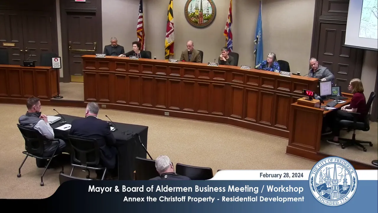
Frederick Mayor and Board of Aldermen Business Meeting and Workshop – February 28, 2024
STREAMING COPY IN PREPARATION — RECORDING AVAILABLE FROM THE ORIGINAL SOURCE
Frederick Mayor and Board of Aldermen Business Meeting and Workshop – February 28, 2024
The Mayor and Board of Aldermen met for a Business Meeting and Workshop on February 28, 2024, at 3:00 PM. The meeting began with the Pledge of Allegiance, approval of minutes from February 14, 2024, and routine consent items. The main agenda item was a workshop discussion on a petition to annex the Christoff Property (57.16 acres on Opossumtown Pike) for R4 low-density residential development. The board held an extensive discussion on density, comprehensive plan alignment, infrastructure contributions, and community connectivity, but took no final action. The board directed staff to provide additional information and schedule a follow-up workshop within 4 to 6 weeks.
Consent Calendar
- Approval of Minutes: The minutes from February 14, 2024, were approved by a 5-0 vote.
- Release of Sureties: A cash surety of $55,276.47 posted by One Eleven, LLC for improvements to the Fifth Street & Maxwell Avenue project was approved.
- Grants: Three grants were approved unanimously:
- Grant agreement with Maryland State Highway Administration for design of the Liberty Road Bridge Crossing (East Street Rails with Trails Phase 3).
- Amendment to the grant agreement with Maryland Department of Transportation for Rails with Trails Phase 4 Design.
- Grant agreement with Maryland Affordable Housing Trust.
Public Comments
- Heather Goddard, President of East Frederick Rising: Expressed support for form-based codes and urged the city to speed up the regulatory process. She commented on the proposed annexation, noting that the location of parkland across the street from the development might limit accessibility and that low-density zoning often produces expensive housing. She advocated for smaller, integrated parks and walkable communities aligned with the comprehensive plan’s vision.
Discussion Items
- Christoff Property Annexation: The board discussed a request to annex 57.16 acres on the southwest and northeast sides of Opossumtown Pike for residential development, with proposed R4 (Low Density Residential) zoning allowing up to 4 units per acre (approximately 228 units). Staff planner Gabrielle Collard presented the annexation plan, agreement, and resolution, outlining the proposed mix of single-family detached and attached units (townhouses), the extension of Reagan’s Road, dedication of 11 acres of parkland (plus an additional 5 acres on-site), and contributions to regional road infrastructure. Water, sewer, school, and public safety capacities were reviewed, with staff noting adequate capacity in schools after planned expansions and a need to amend water and sewer agreements.
- Board Concerns: Several aldermen expressed that the R4 density is too low and inconsistent with the city’s comprehensive plan, which calls for higher densities and mixed-use development. They questioned why the city continues to annex properties at low density when the plan envisions moderate density (6-8 units/acre) and form-based codes. Alderman Russell asked whether setting a low density artificially limits developer contributions. Mayor O’Connor and staff emphasized that the comprehensive plan provides broad policies, and the specific density is chosen for compatibility with surrounding neighborhoods.
- Petitioner Response: Bruce Dean, attorney for the property owner, argued that R4 is appropriate for the site given its location adjacent to lower-density developments and the need for a mix of housing types. He noted that the petition was filed under the previous comprehensive plan and that the net density will be higher (about 6 units/acre) once parkland, forest conservation, and roads are deducted via a Planned Neighborhood Development (PND). Representatives Chris Meriga and Chad Bond highlighted connectivity benefits: extension of Reagan’s Road, shared-use paths, and a water loop improving system redundancy. They stated that the $5,000 per unit road contribution figure was based on outdated city rates and agreed to revisit the fee based on updated cost estimates.
- Regional Road Contribution Discussion: The $5,000 per unit fee was questioned; staff indicated that the city is developing new cost estimates for Christopher’s Crossing improvements and will propose an updated unit fee within a month. The applicant may receive credits for off-site improvements from the road contribution.
- Planning Commission Recommendations: The 2021 Planning Commission recommendation included conditions such as on-site forest conservation and parkland dedication. Some conditions have been partially addressed, and staff will provide updated recommendations.
Key Outcomes
- No Final Decision: The board did not vote on the annexation; the workshop was informational.
- Next Steps: The board directed staff to compile additional information and schedule a second workshop in approximately 4 to 6 weeks. Staff will provide:
- A revised regional road contribution fee based on current cost estimates for Christopher’s Crossing improvements.
- Updated maps showing zoning of surrounding properties.
- Clarification on annexation conditions, including on-site parkland and forest conservation requirements.
- Further analysis of density and land use options.
- Consent Items Approved: All routine business items were approved unanimously.
Meeting Transcript
Good afternoon. Welcome to the Mayor and Board of Alderman Business Meeting and Workshop for February the 28th. We begin with the Pledge of Allegiance. Liberty and Justice. We have minutes to approve February 14th, 2024. So moved. Second. Motion by Alderman Shackleberg Second by Autobahn Casem check. All those in favor. That's 5 0. Thank you very much. We have a business meeting agenda today. Items on the business meeting are considered routine by the mayor and board, heard at the workshop pursuant to the rules of procedure. Approved in one motion without separate discussion, unless any person present request an item be removed. An item that is removed will be considered separately, either at the end of the business meeting or at a regular public meeting. If you would like anything considered separately, please say so when I announce the category. Category A is release of sureties. So moved. Motion by Alderman Shackover, second by Autobomb Casem check. All those in favor. Thank you very much. Grants. Move for approval. Second. Motion by Alderman Shockover, second by Altman Russell, all those in favor. That is five zero. Thank you very much. One item on our workshop agenda today. Discussion of a request to annex the Kristoff property containing 57.16 acres on the southwest and northeast sides of Possumtown Pike. I'll let you figure out that geography when you look at a map. For the purposes of residential development in accordance with the R4 low density residential zoning district. Gabrielle Collard. Do we have a map? Um we have the we have a location map up there, so you don't even have to guess the geography. Um this is a request for annexation, as the mayor noted. Um it's approximately 57 acres. Um, and as summarized in your executive summary, the annexation process is actually comprised of kind of three components. You have your annexation plan, which is something required in both our local code as well as the state code. Um this is really where the jurisdiction has to evaluate how the property is going to be used, what kind of land use patterns it's going to generate, how that'll impact public services, and how those services are going to be provided. Um, overall, it also requires us to look at our municipal growth chapter of our comprehensive plan, which is uh chapter four if you're following along. The annexation agreement is then the second component, and this is kind of new to our processes. I think with the Toms and Mercer applications in late December, you had your first annexation agreements uh that were separate from what we would have traditionally done in an annexation resolution. Uh, the annexation agreement is going to outline the terms or restrictions associated with the annexation. Um, these in this case um it details some of the contributions for public infrastructure as well as restrictions on design and even the dedication of land for public use. Lastly, you have the annexation resolution itself, and that's the final action the board will take. Uh and this constitutes basically the approval or denial of the annexation and the extension of the municipal boundaries to encompass uh that that property. So, first I just want to touch on the annexation plan uh that you have in your packet. Uh, this is a draft at this time. Uh the applicant's requesting to zone the property to R4, which is a low density zoning uh classification that allows four units per acre. At 57 acres, that's approximately 228 units, uh, as you see on the screen.
openpublica.com