Middletown Inland Wetlands & Watercourses Agency Regular Meeting – March 4, 2026
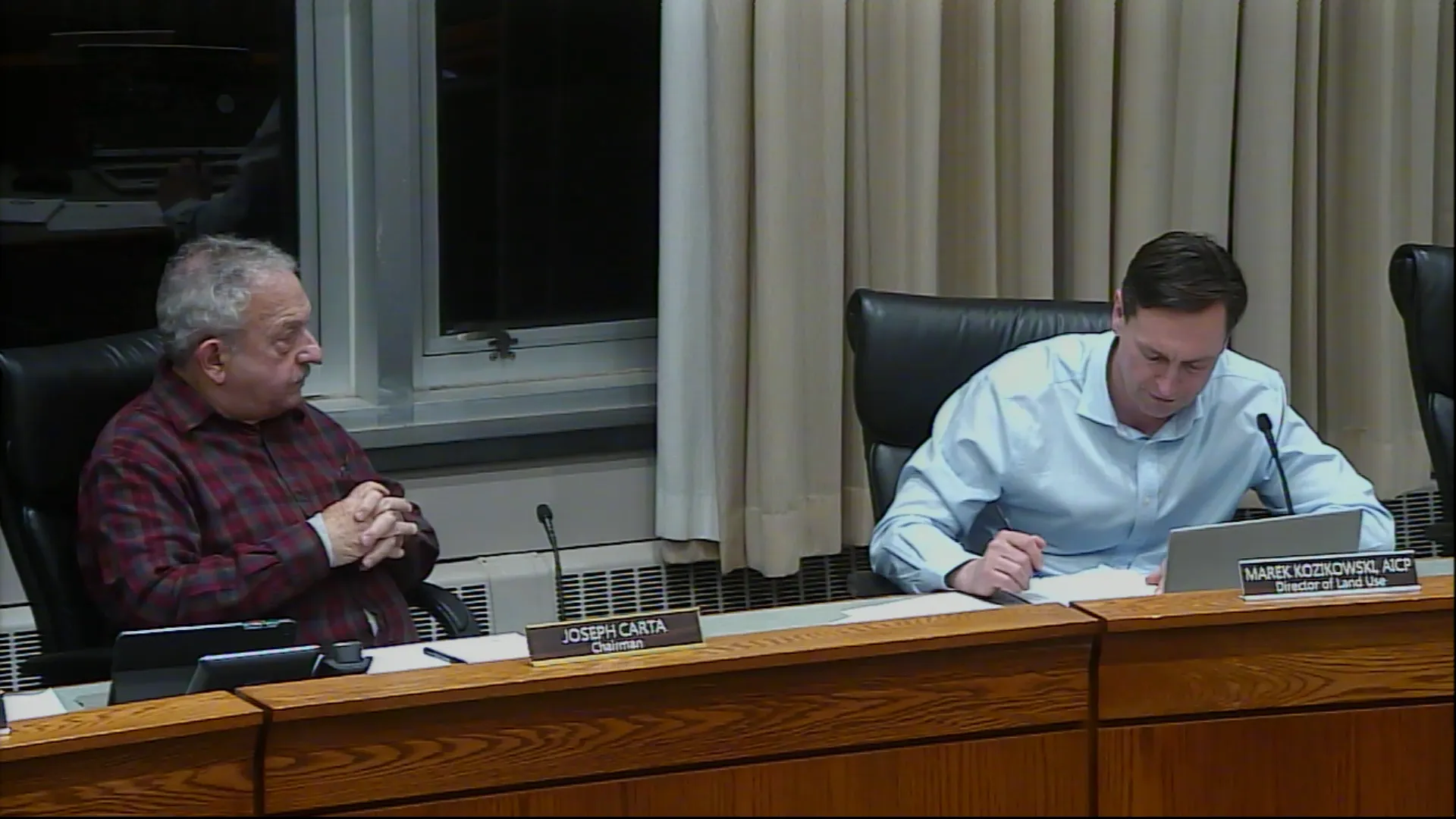
STREAMING COPY IN PREPARATION — RECORDING AVAILABLE FROM THE ORIGINAL SOURCE
Middletown Inland Wetlands and Watercourses Agency Regular Meeting – March 4, 2026
The Inland Wetlands and Watercourses Agency held its regular meeting on March 4, 2026, at 7:00 PM in the Council Chambers. The agency considered three main applications: a multi-use trail, a temporary construction access driveway, and a single-family home. Public comments were heard, and votes were taken on two permits. Discrepancies in impact acreages and trail length were noted between presentations and the official motion.
Public Comments & Testimony
- David Winkle (418 Mile Lane) questioned the longevity of the helical piles proposed for boardwalk crossings (hot dip galvanized steel) and expressed appreciation for the outdoor classroom component at Lawrence School.
- Scott Lana (80 Hemlock Place) raised concerns about inadequate public notice (sign posted only a week prior), future maintenance costs and tax burden, and the long-term plan for the trail network—specifically whether the southern connection would go through the field near Kegwin and the high school.
Discussion Items
- Multi-Use Trail from Kaplan Drive to Tuttle Road (W2026-1): Michael Doherty (SLR Consulting) presented the Newfield Trail Phase 1, a 0.7-mile (as stated in presentation; motion later said 0.9 miles) paved 10-foot-wide bituminous concrete trail connecting to existing infrastructure. The trail includes two boardwalk crossings on helical piles (pressure-treated timber with concrete abutments) and one section of at-grade fill in wetland #3, resulting in 4,900 square feet of direct wetland impact (presentation figure; motion stated 4,090 square feet). Total regulated activities were 1.72 acres (1.61 acres upland review area, 0.11 acres direct wetland impact). The project includes an outdoor classroom, raised crosswalk, and erosion control measures. City engineer recommended a 3-inch pavement thickness (1.5-inch base course and 1.5-inch top course). No vernal pools were affected, and a box turtle exclusion fence will be installed. The trail is part of a larger regional network connecting the Airline Trail to the Farmington Canal and East Coast Greenway. The public hearing was closed, and the permit was granted with conditions.
- Temporary Wetland Crossing for Springside Phase II (W2026-2): Ronald Baumingen (Fuss & O'Neill) presented a 20-foot-wide gravel construction access driveway crossing 0.08 acres of wetland to reach Phase II of the Springside development. The area was previously disturbed by power line maintenance and clay mining and contains mostly invasive species (phragmites, multiflora rose). The restoration plan calls for removal of aggregate and geotextile fabric after 12 months of use, followed by grading and planting. During discussion, the commission requested that wetland soils removed during construction be stockpiled and replaced (to avoid replacing with topsoil). A condition was added for a truck pad at the entrance and daily cleaning of Newfield Street. The permit was granted with conditions.
- Single-Family Home on Arbutus Street (W2026-3): Anthony Garofalo presented a proposal for a home on Lot 1, Arbutus Street (Map-Lot 38-0183), within the upland review area. The wetland area was described as created by a prior driveway drainage and is not significant. The commission debated whether to accept the application for a regular agenda item or a public hearing, given that a public hearing was held for the original subdivision. The decision was to accept it as a regular item for the next meeting (April 1, 2026), without a public hearing unless a petition is submitted. The applicant agreed.
- Wetlands Regulation Amendments: The agency discussed the second draft of the Middletown Wetlands Regulations, which updates local regulations to align with state and federal changes, including new signage requirements (two-sided, perpendicular to road, 40x40 inches, posted 7 days prior). The agency agreed to schedule a commission review at the April meeting and a public hearing in May.
Key Outcomes
- Permit W2026-01 (Multi-Use Trail) was granted with conditions: completion by March 4, 2031; adherence to erosion control plans; pavement thickness per city engineer; and flagging of clearing limits. Vote: unanimous (all in favor).
- Permit W2026-02 (Temporary Wetland Crossing) was granted with additional conditions: stockpiling and replacing wetland soils, installation of a truck pad, and daily cleaning of Newfield Street. Vote: unanimous.
- Application W2026-03 (Single-Family Home) was accepted for the regular agenda of the April meeting; will not automatically require a public hearing.
- Minutes of the February 11, 2026 special meeting were approved (Jennifer Greenberg abstained).
- 350 Randolph Road Notice of Violation was tabled with no new information.
- Wetlands Regulation Amendments referred to the April meeting for commission discussion, with a public hearing planned for May.
Note on Discrepancies: The applicant's presentation cited 4,900 square feet of direct wetland impact and a 0.7-mile trail length, while the motion read 4,090 square feet and 0.9 miles. These inconsistencies were not addressed during the meeting.
Meeting Transcript
This meeting is being recorded. Good evening, everyone. I'd like to call to order the March meeting of the Middletown Inland and Wetland and Watercourse Agency. All our members will be voting members this evening. I'd like to start by asking everyone who is able to rise for the pledge. I pledge it. One nation under God. Indivisible liberty and justice for all. Thank you. Okay, item number one is I'm sorry, B is the public open forum. Are there any members of the public that would like to speak to items that are not on the agenda tonight? Okay. So we'll move to item C, which is the public hearing. It's proposed construction of a multi-use trail from Kaplan Drive to Tuttle Road. The applicant agent is Michael T. Dorothy from SLR Consulting. And it's item number 2026-1. If Mr. Cherick, if I can make some opening comments. So this is a city project for a multi-use trail through the Lawrence School property. So there has been planning studies and I believe they went to design for trail in in Meriden. And last summer, maybe two years ago, the city Middletown in partnership with River Cog, Meredith, and Portland developed a um a concept uh preferred trail location to connect uh Traffida Park in Meriden um to the airline trail in Portland. So we have sections planned uh through the city middle town and this uh segment that we're gonna be presenting today for a uh for wetlands permit um is uh a a small but important sec section so I'm very excited to be able to um bring forward an application uh today and hopefully um if everything goes well we can we can have a have a uh multi-use trail um within you know a year or so um with that um I'm gonna pull up some slides and we have uh our project engineer Michael Dorty here to present okay thank you and for the members of the public this is a public hearing so you will get a chance to comment yeah you guys see it up there up yeah is it up here also not yet yeah okay this thing now there you go all right good evening uh for the record Michael Doherty with SLR Consulting I'm the manager of landscape architecture so just to be clear not an engineer um landscape architect but we do have um engineers on the project as well as wetland scientists um and a whole uh host of other folks with uh SLR consulting so what I'd like to do this evening is walk you through a fairly brief presentation but um provide some uh in-depth information as we go along um so the agenda mark uh gave the project introduction um I'm gonna go through uh where the project is in uh the city of Middletown just to give everybody an orientation to that location um touch on the project purpose and goals the wetland resources and then just walk through the trail uh as it's laid out on paper um so that we all familiar with um what the areas that we're gonna be speaking about and then run through the regulated activities which again were included in the draw drawing sets that were submitted and then happy to answer uh any questions that we have at the end so just so we're all uh oriented to the location of this uh Touch on the project purpose and goals, the wetland resources, and then just walk through the trail as it's laid out on paper so that we all are familiar with the areas that we're going to be speaking about, and then run through the regulated activities, which again were included in the drawing sets that were submitted, and then happy to answer any questions that we have at the end. So just so we're all oriented to the location of this trail phase, and we're calling this Newfield Trail Phase 1. I was part of an earlier study that we did as Mylona McBroom back in probably about 2018-2019 that looked at the Newfield Corridor area, trying to connect north south throughout this area, the high school and points south all the way to Vets Park. So this name, which you know, maybe is not what it will end up being, we've always referred to as Newfield Trail Phase 1. So that's how we continue to refer to it. But it basically connects from Tuttle Road on the north end through the Lawrence School property and to the segment of trail that's built on Kaplan Drive just to the east side of the road there. If you're familiar with that section, there's a 10 foot wide bituminous path piece of trail that's been built, and that's shown in the picture there on the left hand side of the screen, and that exists today. So when you'll see in a few moments as we walk through, we'll be connecting to that segment to continue on. So and Mark went through some of this. Really, what we've always had the goal of for this project is to expand Middletown's off-road trail offerings. Key to that is the Tuttle Road area and connecting into the Metabassett trolley bike trail, the West Lake Bikeway, and all those points sort of north of where we're starting from. A secondary goal was to provide a safe off-road connection to the Lawrence School and that mile lane trail segment. Um, as I'm sure you all are familiar with the Newfield Corridor, the actual roadway section is very difficult to traverse, especially if you're not a skilled cyclist or used to being on road with traffic at such high volumes and speeds. So that's always been a great kind of side note to be able to connect the school and thinking about further points south, the high school and other other areas in the city to really this was always a hopeful kickstart to that north south trail connection that could potentially happen throughout the city. So as we as we go through the plans, I just wanted to first run through the wetland resources that we're going to be speaking about and that were included in the submission package. There was the soil scientists report, which this graphic is based on. When we do trails, we always go from south to north. They labeled their wetlands north to south. So I'm gonna go backwards and start on the left-hand side of the screen, which is wetland number four. And uh for each of these, just gonna give a brief description that was included in the uh soil scientists report. So wetland four is an emergent wetland. It's about 0.14 acres. This is uh just uh to the east side of the existing sidewalk and trail segment that is on Kaplan Drive. Um so we're not not gonna be uh having any work directly in this wetland, but we are in its upland review area, and it's this pocket is one of the smallest mapped pieces, but it is part of a larger segment of wetlands that is part of the brook that that runs through that area of the site. But we're we're veering away from it along Kaplan Drive. Wetland three is located sort of in the middle of the screen, and it it's it's one of the longest and linear pieces of the uh the wetland system that's here. It encompasses 2.17 acres within the study area.
openpublica.com