Ocean City Planning and Zoning Commission Meeting - May 19, 2026
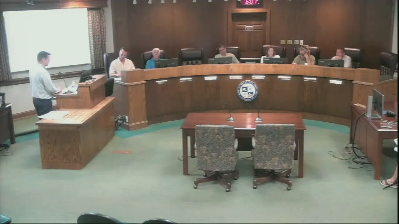
STREAMING COPY IN PREPARATION — RECORDING AVAILABLE FROM THE ORIGINAL SOURCE
Ocean City Planning and Zoning Commission Meeting - May 19, 2026
The Ocean City Planning and Zoning Commission met on Tuesday, May 19, 2026, at 6:00 PM in the City Hall Council Chambers. The agenda included approval of the previous meeting's minutes, a public hearing on two ordinances amending sign and zoning regulations, and a status update on a conditional use violation for Monte Go's Mini Golf. The commission voted unanimously to approve the ordinance amendments and was updated on remediation progress.
Consent Calendar
- Approved the minutes from the April 21, 2026 meeting unanimously (6-0-1, with Commissioner Palmer Gillis absent).
Public Comments & Testimony
- No members of the public offered testimony during the public hearing.
Discussion Items
Ordinance Amendments to Chapter 66 (Signs) and Chapter 110 (Zoning) – Signs, Awnings, and Banners Projecting Over Public Ways and Boardwalk
- George Bendler, Director of Planning and Zoning, presented the background: The Baltimore Avenue right-of-way survey identified numerous signs, awnings, and banners encroaching into public ways. After the Harrison Hall sign (historic, since the 1980s) fell during a winter storm, the Mayor and City Council decided that existing encroaching signs may remain but must have encroachment agreements and insurance, with staff-level approval for repairs/replacements rather than Council approval, since the planned Baltimore Avenue widening project (now scaled to underground utilities from North Division Street to 9th Street, with bidding in 2027 and construction starting October 2027) is not proceeding. The proposed amendments aim to codify this approach.
- Key proposed changes:
- Section 66-9 (Insurance): Adds 'awning', 'banner', and 'boardwalk' to the existing requirement that any sign, awning, or banner projecting over or into a public way must have a $1,000,000 insurance policy naming the Town of Ocean City as an additional insured.
- Section 66-14: Shifts approval from the Mayor and City Council to administrative review by the Zoning Administrator and City Engineer; requires an encroachment agreement acknowledging removal at the property owner's expense upon notice; and clarifies that existing nonconforming signs, awnings, and banners may remain under specific conditions (no increase in size, removed upon redevelopment, etc.).
- Sections 110-831.27 and 110-865.25 (Downtown and Upper Downtown Design Overlay Zones): Update references to Section 66-14, remove the requirement for Mayor and Council approval for projections, and clarify that signs must be removed when the property is redeveloped.
- Commissioner concerns and positions:
- Commissioner Kevin Rohe expressed strong support for the intent but raised practical concerns about enforcement. He estimated that fewer than 5% of current signs likely have the required insurance, and questioned how the city would track and enforce the requirement given it is self-insured. He suggested linking proof of insurance to annual business license renewal.
- Commissioner Palmer Gillis echoed these concerns, noting the administrative burden of managing certificates of insurance and the potential liability if an uninsured sign causes damage. He supported tabling the ordinance until an administrative plan is developed.
- Commissioner Gordon Kretser noted the insurance requirement has been in the code since at least 1999 (referencing Code 1972 and 1999) and questioned whether the language was sufficiently specific regarding the timeline for removal upon notice.
- Commissioner Joe Wilson asked about removal timelines; staff responded that each situation would vary.
- Commissioner Janet Hough, who manages a boardwalk property, noted that under current code the building's awning is not required to have insurance but would be under the new language. She asked how property owners would be notified, as many may not apply for a sign permit for years.
- After extensive debate, the commission consensus was to approve the ordinances as presented but to direct staff to coordinate with the city's risk management team on administrative implementation and report back if additional code language is needed.
Status Update – Violation of Conditional Use Approval for Monte Go's Mini Golf
- George Bendler reported that all corrective work (stormwater management and site plan) has been completed. The department is awaiting the final stormwater as-built report from the engineer, which is expected to be received and approved on or before May 24, 2026. Staff confirmed that the physical work is done and only the engineer's sealed report remains.
Key Outcomes
- The commission unanimously approved the amendments to Chapter 66 (Signs) and Chapter 110 (Zoning) as presented (motion by Gordon Kretser, second by Janet Hough; all in favor). The ordinances will proceed to first reading before the Mayor and City Council.
- Staff will consult with the city's risk management office regarding administrative enforcement of the insurance requirement and may bring back additional language if necessary.
- The June 2, 2026 public hearing for the Ocean Pines Beach Club rezoning has been postponed at the applicant's request; that meeting will be cancelled.
- The Monte Go's Mini Golf conditional use violation is expected to be fully resolved upon receipt of the final engineered as-built report by May 24, 2026.
Meeting Transcript
Five. All right. I'll go ahead and call to this evenings planning and zoning commission to order today. Is Tuesday, May 19th, 2026? First item on our agenda is approval of the minutes from the April 21st meeting. Motion from Janet to approve. I was not here. Second from Tony. Any discussion? All those in favor? All right. Moving on to public hearing. George, I'll let you take it away. Do you solve me swear approved to tell the truth the whole truth and nothing but the truth in front of planning commission? I do. George Benler, uh 301, uh Baltimore Avenue, Ocean City, Maryland. Okay. Thank you all for being here tonight. Uh we appreciate uh being here. And uh I want to give you some background on why we're here and what we're discussing tonight. Uh the first topic I'd like to get into is the Baltimore Avenue uh right-of-way project and the Baltimore Avenue uh expansion. I want to give you a brief history of where we're at with that so you understand what we're talking about here with this discussion. Um the Baltimore Avenue uh project, the widening project in its inception, um, has changed uh over the course of the years. Um this has been an ambitious project. Um the town got some earmark money, uh the prices had increased. Um ultimately it was to go into uh areas that the uh town had surveyed and found that they were um that they controlled and were uh the town's right-of-way. The town was going to widen Baltimore Avenue into that area. Ultimately, the cost uh exceeded expectations, and now the town is moving forward with a project that will underground all utilities from North Division Street to 9th Street. Um that project will kick off uh bidding next year. Um, and they hope to have it uh started October 2027. So things are moving on it. Um it's not what it was, but it uh it will be back to uh you'll see new uh light posts out there, you'll see that no more uh overhead utilities, and uh sidewalks will be uh still five feet, they will not be widened, but it will give us a little bit clearer path down Baltimore Avenue. That is the uh understanding of or the gist of what it is. Uh Chase, can you give me the uh docking camera quick in the process of of exploring this Baltimore Avenue right-of-way, the city had its uh streets survey from North Division Street to 15th Street. In that survey, you can see on each side they identified all landmarks. This red line right here, you'll see this red line here between here and here is the city right-of-way. There's a 75-foot right-of-way that the town is uh surveyed and established as their right-of-way. In this survey, the town, and if you uh this is North Division Street, moving up. Um identified all items in the right-of-way. Second street, third street. You can see there's signs, pavers, other things in that right away. And what uh what's that, George? This right here, the remote. Oh, that is a building that is in the setbacks that we've building? Yes. So that is currently in our setbacks. How'd that happen? Uh just over the years. What properties that's a chart? That's a church, yeah.
openpublica.com